

RailTrailWx™
Your comfort. Prognosticated.
Tell it when you are free. It finds the trail, the day, and the hour that will feel best.Explore without a Free Pass →
How do you enjoy rail trails?
Maybe you love long rides through river valleys or open fields. Maybe you are drawn to a quiet walk in the trees, a morning of birding, or exploring a trail town you have never visited. Maybe you are working through a bucket list. Rail trails make room for all of it.
But every rail trail outing meets the same challenge: planning for the weather. Ordinary forecasts are not built around your trail, your activity, or your personal comfort. RailTrailWx is.
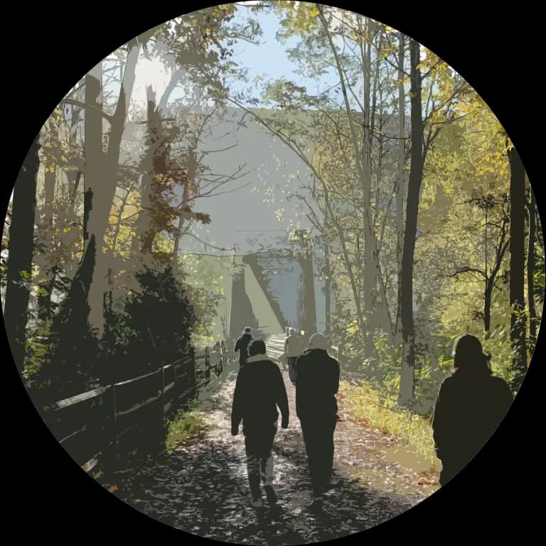
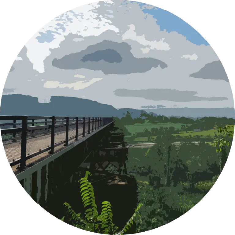
RailTrailWx is built to help you plan your favorite activity on your trail with maximum comfort.
Instead of interpreting a generic weather forecast, you receive guidance tailored to each rail trail and your personal preferences.
When should I go?
RailTrailWx Comfort Scoresᵀᴹ give you an at-a-glance read on the best times to go, and the Plan tab sweeps every trail in the fleet for windows that fit your schedule.
Where should I go?
Statewide maps color every rail trail by your comfort score, making it easy to compare options and choose where to go.
How will it feel?
Your comfort score is built from your own thresholds for temperature, wind, humidity, and precipitation.


Forecast · The Comfort Score
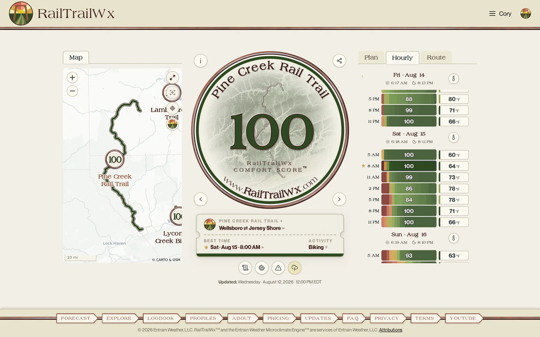
One number, tuned to you. Trail, activity, and your own thresholds resolve into a single comfort score stamped on the badge, with the day's best time on the ticket.
Forecast · The Comfort Score
One number, tuned to you. Trail, activity, and your own thresholds resolve into a single comfort score stamped on the badge, with the day's best time on the ticket.

Founded by a meteorologist and avid rail trail rider.
Hi, I’m Cory Baggett, a Penn State Ph.D. meteorologist who forecast operationally at NOAA’s Climate Prediction Center and took first place nationally in the WxChallenge forecasting competition. I built RailTrailWx after years of trying to compare wind, temperature, humidity, and precipitation across many rail trails and forecast days just to decide where and when to ride. Weather shifts dramatically along trail corridors, and comfort shifts just as much from person to person. RailTrailWx exists to remove that mental load and help you make clearer, faster decisions about when and where to enjoy the trails.
About Cory Baggett and RailTrailWx's mission →Born in Pennsylvania. Now coast to coast.
RailTrailWx started on Pennsylvania's 2,000 miles of rail trails, where river gorges, ridges, farm valleys, and forest canopy make trail-specific weather guidance matter. It now covers 180+ trails in 30 states, including the country's most celebrated rail trails, from the Katy Trail to the Burke-Gilman, each one forecast along its own corridor with the same microclimate engine.
What’s included
Sixteen features, one job: helping you plan your best days on the trails.
- The Plan tab: tell RailTrailWx the days and hours you are free, and it sweeps the 14-day forecast across 180+ trails for the most comfortable windows that fit you, ranked and ready
- RailTrailWx Comfort Scoresᵀᴹ for at-a-glance decisions about where, when, and how to enjoy the trails
- Honest odds from a range of parallel forecasts, so you always know how confident to be in the outlook
- Comfort profiles for multiple activities, including biking, walking, running, and hiking, with full customization of weather thresholds for any activity you choose
- Entrain Weather Microclimate Engineᵀᴹ, powering super high-resolution forecasts tuned to each rail trail's terrain
- Weather forecasts derived from NOAA and ECMWF state-of-the-art models1
- Rail trail maps with comfort score overlays, waypoint markers, and interactive features
- NEXRAD radar integrated into every trail view to help you see live, approaching precipitation before you go
- Rest-of-today thunderstorm outlooks for every trail, hour by hour
- Alerts from the National Weather Service for each trail, to help you stay aware of hazardous conditions
- Wind forecasts that are direction-aware, providing headwind information for activities like biking
- Customizable routes along each trail
- RailTrailWx Dispatch: a plain-language, AI-drafted daily summary from your trail's actual forecast, tuned to your activity
- A full illustrated guide for every trail: facts, elevation and shade, history, a climatology of excellent days by month, peak fall color timing, and specialized RailTrailWx tips from Cory
- The RailTrailWx Logbook: a medallion for every trail you visit, your collection filling in trail by trail
- 180+ rail trails in 30 states, with more trails and states on the way
RailTrailWx™
Your comfort. Prognosticated.
Your next great day on the trails is already in the forecast. RailTrailWx finds it for you, and this is just the beginning: the trails will keep expanding, the guidance will sharpen with every season, and the science will keep improving. Join early and help shape what it becomes.